
In our comprehensive survey, we aim to explore and analyze the diverse camera technologies employed for capturing existing conditions of various spaces. This investigation delves into the cutting-edge methods and equipment utilized in architectural and spatial documentation. We will examine the full spectrum of tools available, including 360-degree panoramic cameras and laser scanners, for accurately representing the physical state of spaces. By shedding light on this array of camera technologies, our survey seeks to provide invaluable insights for professionals across various industries, from architects and engineers to real estate experts and preservationists, enabling them to make informed decisions when documenting and assessing the built environment.
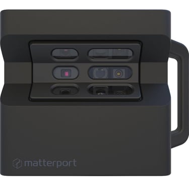
MATTERPORT PRO 2
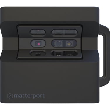
MATTERPORT PRO 3
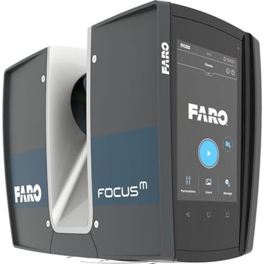
FARO FOCUS M70
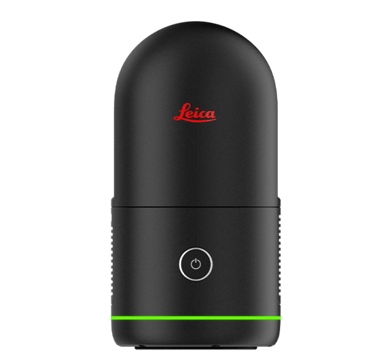
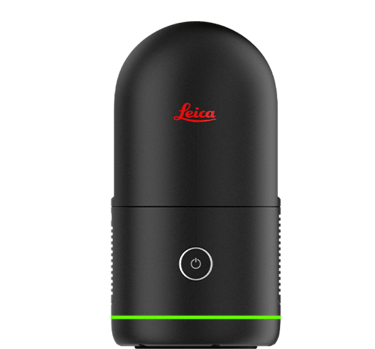
LEICA BLK360
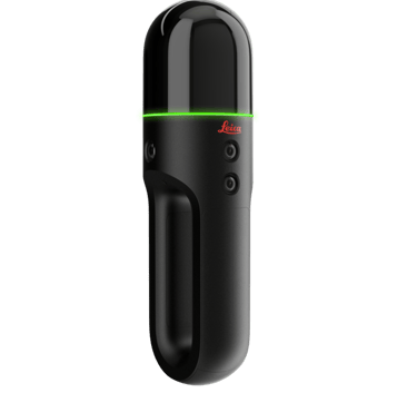
LEICA BLK2GO

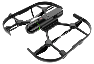
LEICA BLK2FLY
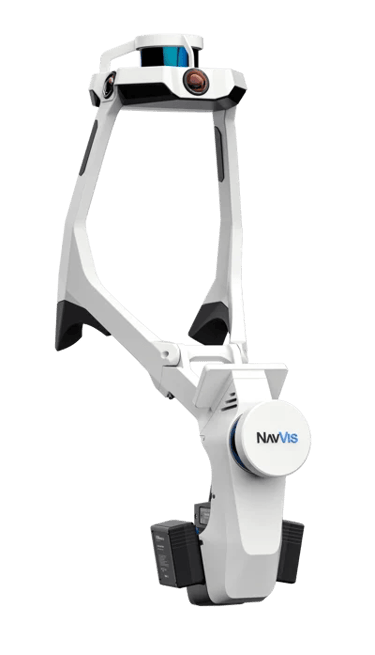
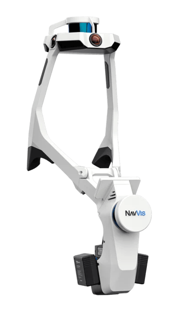
NAVVIS VLX
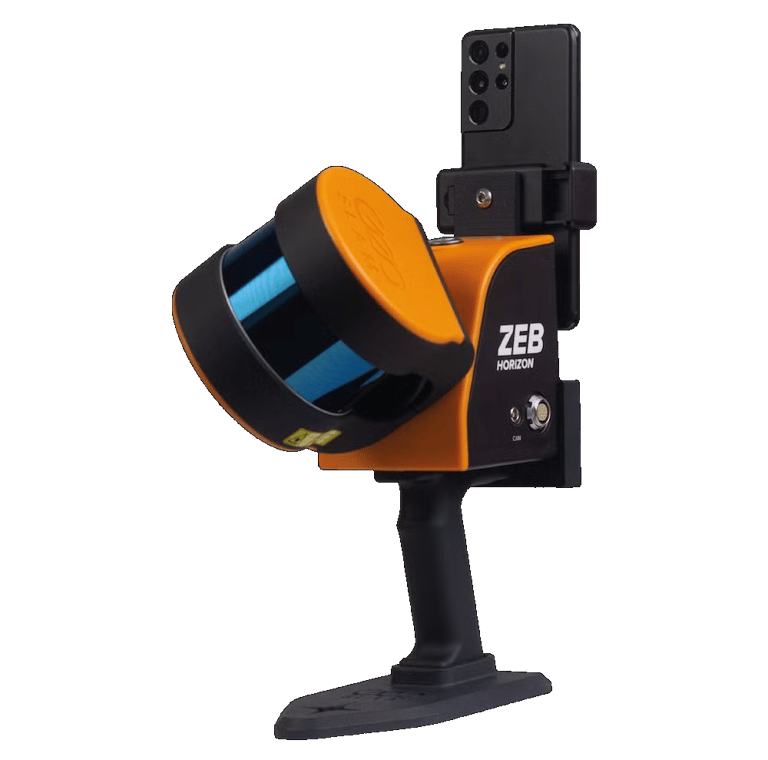
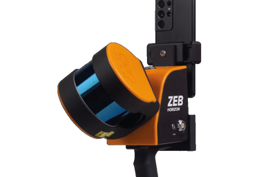
GEOSLAM ZEB HORIZON RT

CONTACT
ADDRESS
4012 Gunn Highway, Ste 100
Tampa, FL 33618
HOURS OF OPERATION
Monday - Friday: 9:00AM - 5:00PM
PRIVACY POLICY | TERMS & CONDITIONS
© We R Survey